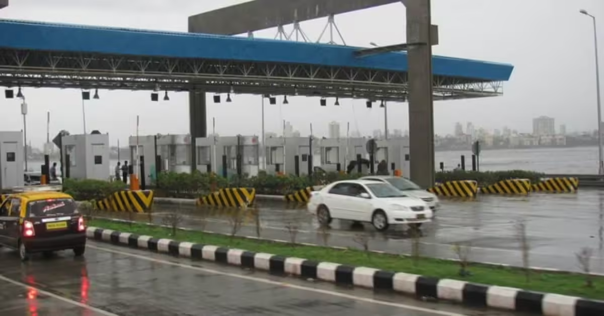
India is about to make a big change in how it collects tolls of a satellite based toll collection system. Union Minister for Road Transport and Highways, Nitin Gadkari, said that the Global Navigation Satellite System (GNSS) will soon be operational, promising to revolutionize how tolls are collected across the nation.
This innovative system aims to replace the existing FASTag method, significantly reducing wait times at toll plazas. With GNSS, vehicles will be charged based on actual distance traveled rather than fixed fees, allowing for a pay-as-you-go model that enhances efficiency and convenience for drivers. Notably, private vehicles equipped with GNSS will enjoy free travel for up to 20 kilometers on select highways, a move designed to alleviate the financial burden on daily commuters.
The Ministry of Road Transport and Highways (MoRTH) is actively working on this project, which includes real-time monitoring software to track congestion and waiting times at toll booths. This initiative not only promises a smoother journey for motorists but also aims to enhance revenue collection by minimizing evasion and streamlining operations.
As India gears up for this significant upgrade in its tolling infrastructure, the GNSS system stands poised to deliver a seamless and efficient travel experience, marking a new era in road transport management.
What are the benefits of satellite based toll collection GNSS
The new Satellite based toll collection GNSS system offers several key benefits that promise to enhance the tolling experience for drivers across India:
- Seamless Travel: Vehicles equipped with GNSS-enabled tags can pass through toll booths without stopping, significantly reducing wait times and eliminating congestion at toll plazas. This system allows for a free-flowing traffic experience, enhancing overall travel efficiency.
- Distance-Based Charging: Unlike the existing FASTag system, which charges fixed amounts at designated points, the GNSS system implements distance-based tolling. Drivers will only pay for the actual distance traveled beyond a 20 km daily exemption, making the tolling process more equitable and transparent.
- Reduced Infrastructure Costs: The transition to virtual toll booths means a significant reduction in the need for physical toll infrastructure. This leads to lower maintenance costs and easier scalability as road networks expand.
- Enhanced Traffic Management: By minimizing the need for physical stops, the GNSS system is expected to alleviate traffic congestion, ensuring a smoother flow of vehicles on highways without the need for additional lanes.
- Improved Revenue Collection: The GNSS technology aims to plug leakages and prevent toll evasion, resulting in a more efficient collection system that can boost government revenues from highway usage.
- User-Friendly Experience: The automatic deduction of tolls from linked accounts simplifies the payment process for users, allowing them to focus on their journey rather than managing toll payments manually.
- Global Standards and Adaptability: Aligning with international trends in toll collection, India’s adoption of GNSS reflects a commitment to modernizing its transport infrastructure while ensuring compatibility with global systems.
Overall, the GNSS-based toll collection system is set to revolutionize how tolls are managed in India, promising a more efficient, user-friendly, and cost-effective solution for all highway users.
ALSO READ | The much-anticipated Vande Bharat Sleeper Train: A New Era in Indian Rail Travel
Difference Between FASTag and satellite based toll collection (GNSS)
Technology Used
- FASTag: Utilizes RFID (Radio Frequency Identification) technology. A sticker with an embedded chip is affixed to the vehicle’s windshield, which is scanned by toll booth scanners to automatically deduct tolls.
- GNSS: Satellite based toll collection Employs Global Navigation Satellite System technology, which uses satellites to track vehicle locations and calculate tolls based on the distance traveled. This system allows for virtual toll booths rather than physical ones.
Toll Collection Process
- FASTag: Requires vehicles to stop at physical toll booths equipped with RFID scanners to deduct the toll amount. Although it speeds up transactions compared to cash lanes, queues can still form during peak traffic hours.
- GNSS: Satellite based toll collection Enables vehicles to pass through designated lanes without stopping, as tolls are calculated in real-time based on satellite data. This eliminates the need for physical toll booths, thereby reducing congestion.
Payment Structure
- FASTag: Operates on a pre-paid model where users must maintain a sufficient balance in their linked accounts for smooth transactions.
- GNSS: Satellite based toll collection Offers more flexibility by potentially supporting both pre-paid and post-paid billing based on distance traveled. Users will only pay for the actual distance they travel beyond a daily exemption of 20 kilometers.
User Experience
- FASTag: While it improves efficiency over manual toll collection, users still experience delays due to the need to stop at toll booths.
- GNSS: Aims for a seamless travel experience with no stops required, significantly minimizing travel time and enhancing overall convenience for drivers.
Infrastructure Requirements
- FASTag: Relies on physical infrastructure at toll plazas, which requires maintenance and can lead to congestion.
- GNSS: Satellite based toll collection Reduces reliance on physical infrastructure by implementing virtual tolling systems along highways, which can adapt more easily to increased traffic volumes.
Final Word
The transition from FASTag to Satellite based toll collection GNSS represents a significant advancement in how tolls are managed in India. While FASTag has improved efficiency over traditional methods, GNSS aims to eliminate delays altogether, providing a more modern and user-friendly approach to road travel.


